


In a March 2023 Gartner report, Hexagon was named a Sample Vendor in the spatial mapping solutions.
Hexagon was recognised as a Sample Vendor in spatial mapping. The report recognized a total of nine vendors in this category.
Gartner, a company that delivers actionable, objective insight to executives and their teams, released their recent report “Emerging Tech Impact Radar – The Metaverse.” The report examined emerging technologies, including spatial mapping, which is “the creation of three-dimensional (x, y, z) datasets, also referred to as a point cloud that is a 3D visualisation of a (static) indoor or outdoor environment,” according to Gartner.
“It is with great pleasure that Hexagon has been included as a Sample Vendor within the spatial mapping category,” said Juergen Mayer, President of the Reality Capture division at Leica Geosystems, part of Hexagon. “In the emerging metaverse, user-friendly technology is crucial for mass adoption, and Hexagon is committed to making that a reality.”
“It is a great honour to be recognized for our work in spatial mapping,” said Mladen Stojic, president of Government, Transporation, Defense & Security for Hexagon’s Safety, Infrastructure & Geospatial division. “It’s our goal to provide the world with solutions that unlock the power of data and empower us to use that data to create a more sustainable and livable world. We think this recognition validates the work that we have been doing for more than 30 years.”
When will spatial mapping emerge?
Gartner estimates the current state of indoor/outdoor spatial mapping to be at around 5% to 10% of the way to early majority adoption since even indoor capture is still an emerging area, plus only a fraction of indoor spaces have been captured today.
Gartner expects high growth in 2022 and 2023 in the range of 200% due to the very low base and activity — especially in outdoor capture from previous years.
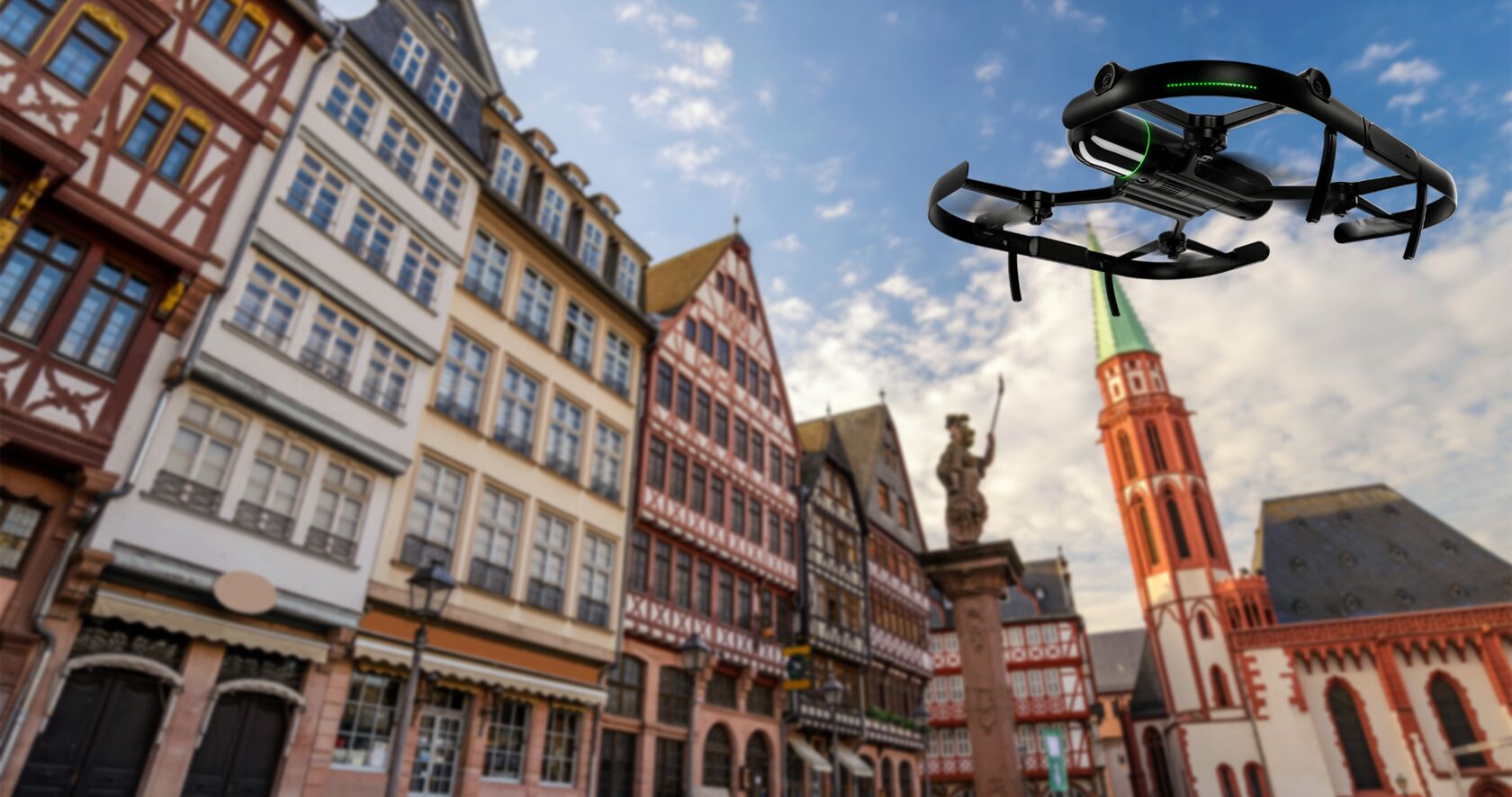
Hexagon has developed several products specialising in outdoor spatial mapping. John Welter, Division President of Geospatial Content Solutions at Hexagon’s Geosystems division, said, “[Our] solutions range from our reality capture terrestrial scanning products for indoor and point-of-interest digitisation, our mobile mapping products for roads and other linear corridors and our airbourne solutions for city-to-continent-wide digitisation.”
The impact of spatial mapping
While the majority adoption of spatial mapping is imminent, the technology has a potential for high impact. Gartner deems spatial maps to be high mass because whichever industry is participating in the metaverse will need to draw from spatial maps.
According to Stojic, “At Hexagon, we’re creating geospatial mapping solutions that make our world a better place. Our solutions help sustain the environment, battle climate change, help cities and industries run more efficiently and provide the best possible situational awareness for those who provide for our defense.”
Stojic shared that one of those solutions includes M.App Enterprise, a cloud platform built for geospatial and location intelligence applications. M.App Enterprise is used by city planners, infrastructure operators, government departments and more for analysing information, such as land and property data, sustainability factors and traffic flow.
“Other solutions include the Luciad portfolio, trusted by defense, maritime and aerospace industries. Our GeoMedia, ERDAS IMAGINE and related software are [also]widely used by geospatial professionals across many industries to collect, process, manage and deliver location intelligence to inform decision-making,” said Stojic.
The report also cites, “Organizations and industries that have derived value from this technology are those needing reality capture in factories, for example, for planning new production lines, infrastructure or entire new sites. AEC professionals use 3D datasets (point clouds) to compare reality with BIM models for more efficient planning.”
“We think Hexagon is a world leader in spatial mapping. Geospatial solutions have been one of our core businesses for over 30 years and will continue to be a main focus,” said Stojic.
The power of autonomy
One of the report’s recommended actions regarding spatial mapping is to “improve time to value and scalability by investing in systems and technologies that help automate the spatial mapping data updating process.”
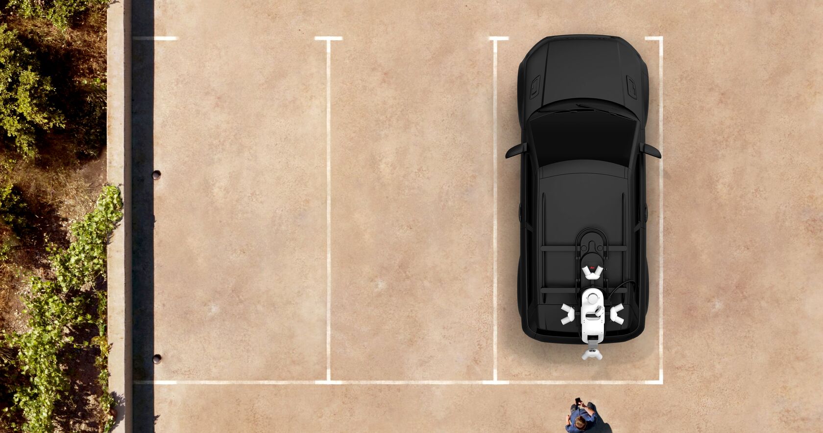
Many of Hexagon’s products are already primed and equipped with automation and autonomy capabilities. One example is Hexagon’s revolutionary mobile mapping technology, the Leica Pegasus TRK portfolio of mobile mapping solutions. “This system is powered by artificial intelligence, offering autonomous workflows and intuitive interfaces,” said Mayer.
With autonomy already integrated into many of our top solutions, Hexagon is well-positioned for emerging spatial mapping technology in the market. “Hexagon belongs in this conversation as a foundation to unlocking the full potential of the metaverse,” said Mayer.
Click here for more information on the Gartner Impact Radar reports.
Source: Gartner, “Emerging Tech Impact Radar – The Metaverse,” 21 March 2023.
* Gartner does not endorse any vendor, product or service depicted in its research publications and does not advise technology users to select only those vendors with the highest ratings or other designations. Gartner’s research publications consist of the opinions of Gartner’s research organisation and should not be construed as statements of fact. Gartner disclaims all warranties, expressed or implied, concerning this research, including any warranties of merchantability or fitness for a particular purpose.
GARTNER is a registered trademark and service mark of Gartner, Inc. and/or its affiliates in the U.S. and internationally and is used herein with permission. All rights reserved.


