


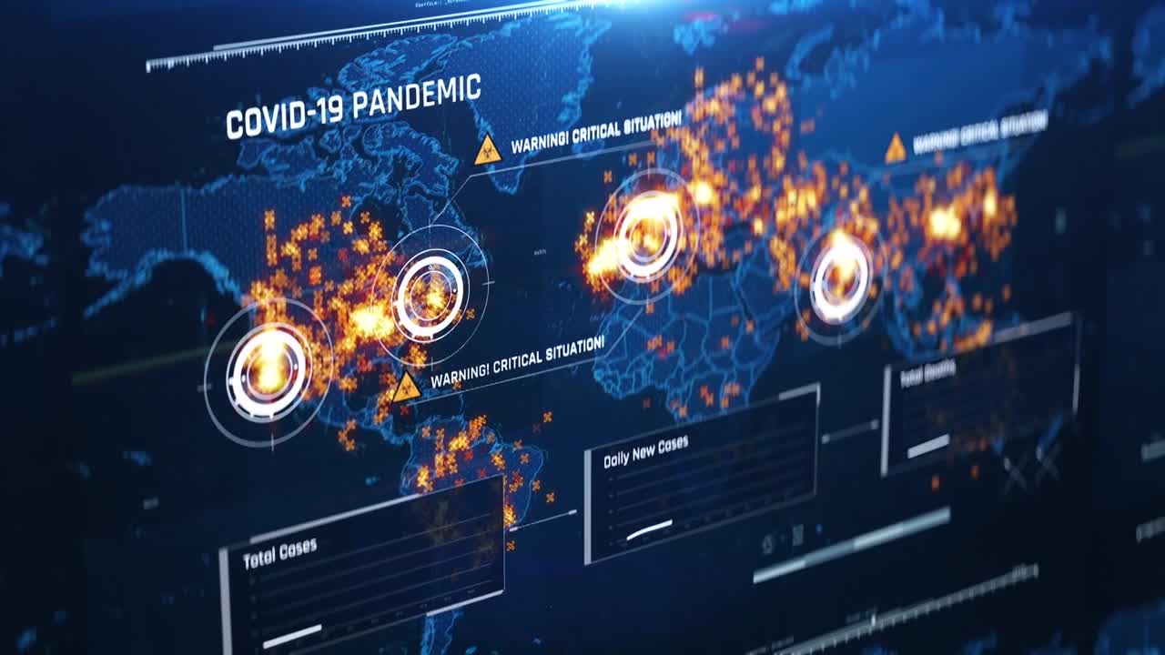
It’s clear that the COVID-19 pandemic is nowhere near over, and it’s also become abundantly clear in this crisis is that you can’t manage what you don’t measure. Because of this, location intelligence has become a critical input as the world tries to control COVID-19 and move past its devastating effects.
Throughout the pandemic, Hexagon’s Geospatial division has been assisting authorities by providing location intelligence and situational awareness tools that help them visualise, analyse, and communicate COVID-19 issues, including in real time. At the beginning of the crisis, the team developed a series of COVID-19 maps that analysed the total numbers globally.
In addition to tracking new cases, businesses, governmental and health authorities are also using location intelligence to provide more granular details. Hexagon’s customers from regional authorities to city governments and companies in various industries are using this location intelligence data to bolster containment and recovery efforts. As time has worn on, Hexagon’s technology is being used to map coronavirus testing data in Catalonia, Spain; to inform citizens of where essential business are open and supplied in Almada, Portugal; and aid the aviation industry by tracking flight patterns through the M.App Enterprise platform.
Learn more about how Hexagon’s location intelligence solutions are supporting COVID-19 response and recovery.


