As a product manager at Leica Geosystems, I’ve had the opportunity to work with a team of experts from different fields on the development of an exciting and innovative product – Leica Geosystems’ BLK3D. It’s the newest member of the BLK family, joining the BLK360 imaging laser scanner as another breakthrough technology.
Why is this so exciting?
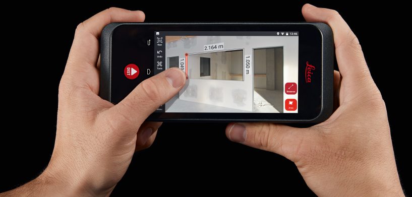
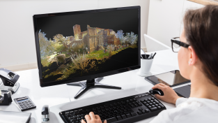
Leica Geosystems has simplified the measurement process by leaps and bounds. Now, you simply need to take a picture and tap two points within the image to capture professional-grade 3D measurements onsite in real-time. Using BLK3D Desktop software, the measurements can be calculated at any time later in the office. We made this possible by combining measurement sensors, including a stereo camera, laser distance measurement technology, on-device data processing, and advanced software. You don’t even need a network connection or cloud service to carry out the measurements on this compact, affordable device.
Thinking this is complicated?
Don’t worry, it’s not! We have automated all complex steps to proceed in the background, allowing you to stay focused on the job at hand, instead of focusing on the device’s operation. All work is simply carried out on a 2D photo.
With a variety of applications, the BLK3D meets these key needs:
- Quickly and easily captures multiple measurements between two objects with an image. This is much faster than using a tape measure or laser distance metre.
- Captures multiple measurements at once with the single touch of a button, confirms measurements on the spot, or creates additional ones at any point thereafter.
- Increases the ease of documenting your work – either in a very basic format of location-aware images or in the form of BIM-relevant workflows.
- Optimises time and resources required to create estimates.
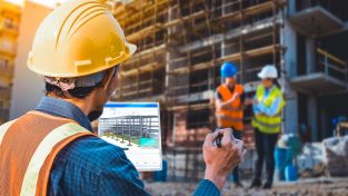
The BLK3D is suitable for a wide range of markets, including those involved in construction projects (AEC/MEP), public safety, facility management, insurance/lost adjusters, and real estate. It’s perfect for combining photo documentation with professional-grade, real-time 3D measurements.
Whether you need to capture one, ten, or hundreds of photos, the project organiser and document functionality allows you to link photos to a floorplan or any other location map. With these capabilities, this technology has the potential to transform the way experts in multiple fields measure and document. To find out more, visit www.blk3d.com
Tobias Heller
Product Manager
Leica Geosystems
 Tobias Heller is a Product Manager at Leica Geosystems AG. Follow him on Twitter @tobi_heller.


