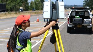
The new Leica Aibot allows you to get a complete data set in less time with a user-friendly and innovative interface, opening new business opportunities while spending less time, costs and effort than with traditional methods. The UAV workflow is fully integrated in the Leica Geosystems software solutions, making aerial surveying easier and more efficient. Visualise and digitise your surveying results and have all information you need with more flights on a regular schedule.
Speaker(s):
Brian Kane, HxGN TV
Valentin Fuchs, Leica Geosystems
Bryan Baker, Leica Geosystems


